
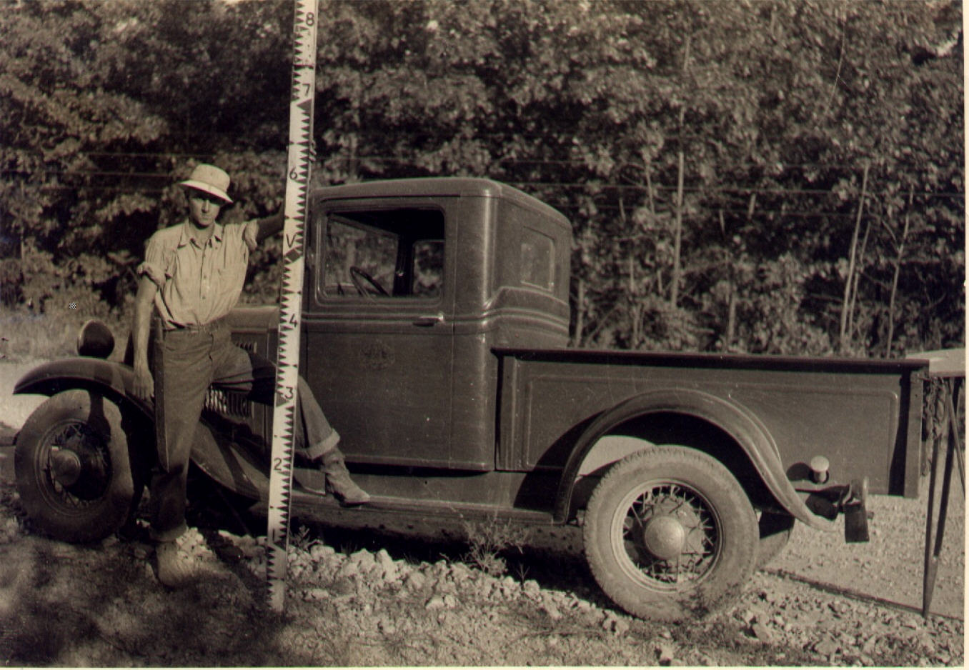
Robert Elgin, Founder of Elgin Surveying, in 1934 at the start of his career in the survey profession.
Archer-Elgin provides all types of professional land surveying and mapping services. Our highly experienced team members have “done it all before” and know what is important while accomplishing any survey project. The result is a highly accurate, highly reliable plat, survey, map or other deliverable. We apply the latest leading edge technology and tools in both the office and in the field, including the latest in Global Positioning Satellite (GPS) and Robotic Total Station (RTK) systems. Taking full advantage of this and other technology (including the most modern equipment, computers, software, and printers), our staff strives to produce the highest quality work products possible.which all combine to produce a professional product more quickly, at less expense and with more accuracy than ever before.
Archer-Elgin specializes in providing a full-range of surveying and mapping services and the members of our survey and mapping team leaders are among the most well-known and well-respected in the state. We have provided exceptional services to our public and private clients for over 50-years and will continue to provide a diverse range of the industry’s most innovative, reliable, accurate and visionary surveying and mapping services.
Our people and our equipment make the difference in the level of service Archer-Elgin can provide in surveying and mapping. We have many years of practical experience, combined with trained and certified surveyors and designers, who have access to the most up-to-date tools, resulting in unparalleled accuracy in our survey and mapping work. From small to large complex projects, our commitment is to work in partnership with our clients to exceed their expectations.
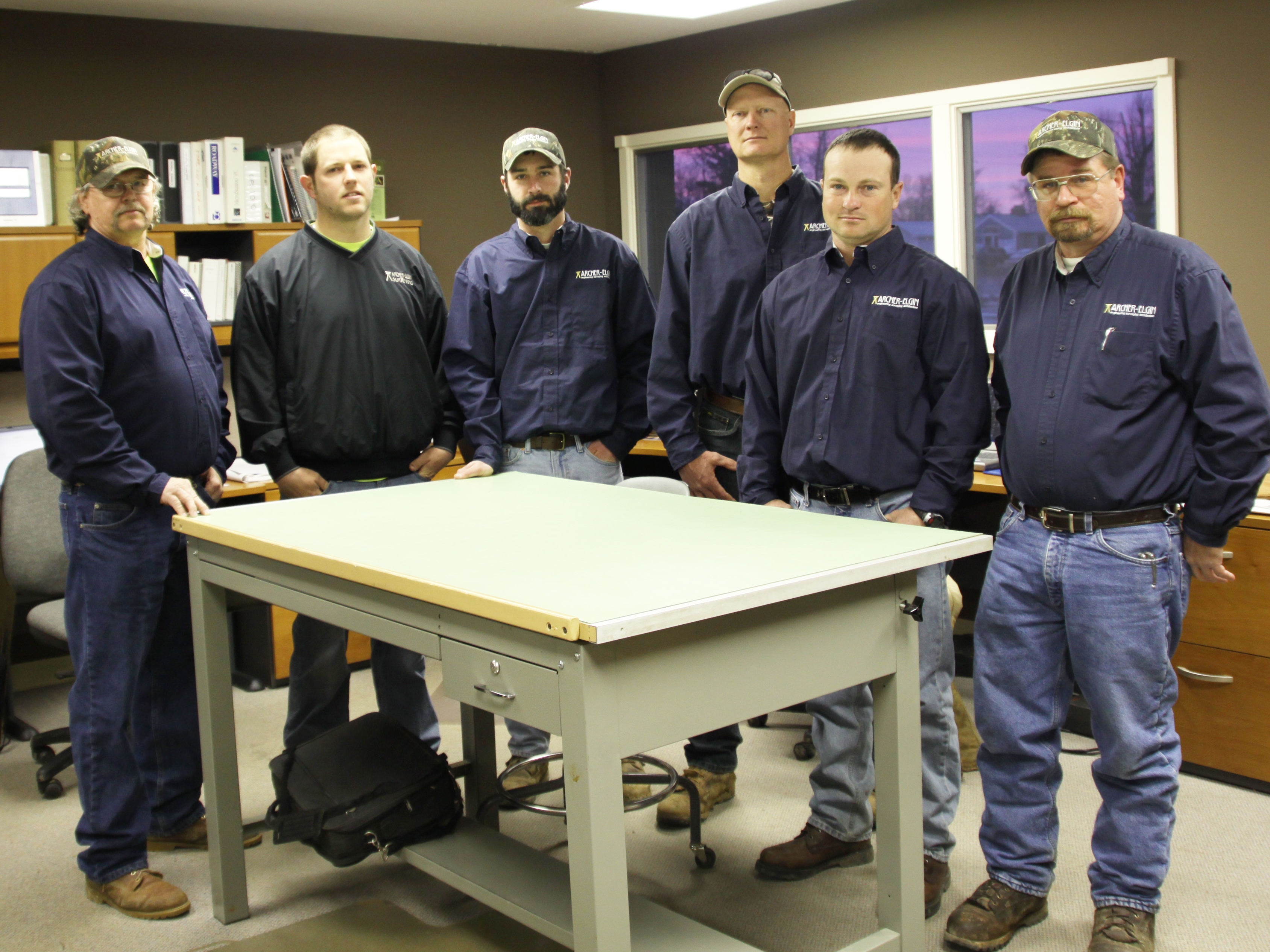
Archer- Elgin’s Surveying Field Crew Professionals