
Archer-Elgin offers a full range of Geographic Information Systems (GIS) services, which allows our clients to manage and analyze their spatial data and ultimately help them make more informed decisions. GIS provides the ability to view, understand, question, interpret and visualize data to reveal relationships, inventories, patterns, and trends in the form of maps, globes, reports and charts.
GIS can reduce costs because it efficiently manages a diverse range of information, including cadastral mapping, land-use planning, engineering, transportation, infrastructure, water and wastewater, and environmental remediation and compliance.
We are able to obtain imagery, and attribute data consisting of, for example, ground contour, survey control monumentation, wetland designation, archaeological inspection sites, parcel information, zoning designation, utility appurtenances, utility location, pavement inventory and condition and jurisdictional boundaries that can be incorporated into a database that the client can update and maintain. 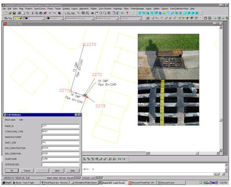
Local Government Infrastructure Applications
- • Hydrologic and Hydraulic Modeling
- • Water Resources
- • Watershed Planning, Delineation, and Restoration
- • Floodplain Management
- • National Pollutant Discharge Elimination System (NPDES) Investors and Data Management
- • Utilities Base Map Creation
- • Utilities System Inventory and Mapping
- • Utilities System Analysis, Inventory and Modeling
- • SCADA Integration
- • Infrastructure Inventories
- • Infrastructure Management
- • CAD Conversion
- • Work Order Management
- • Sampling and Modeling
- • Pollutant Tracking
- • Data Management
- • Impact Study Assessment
Planning
- • Zoning and Land Use Mapping
- • Parcel Ownership Mapping
- • Site Suitability Analysis
- • Environmental Resources Mapping
Transportation
- • Asset Management Inventory for Pavement, Guardrail Signage, Traffic Signals, and Culverts
- • Traffic Modeling
- • Traffic Routing