
Archer-Elgin provides a wide-range of boundary and easement survey services to public and private sector clients and has a fully-staffed office and field surveying team in place to assure that our clients are provided the best services in a timely manner. With over 50 -years of firm experience, the Archer-Elgin team has “done it all before”.
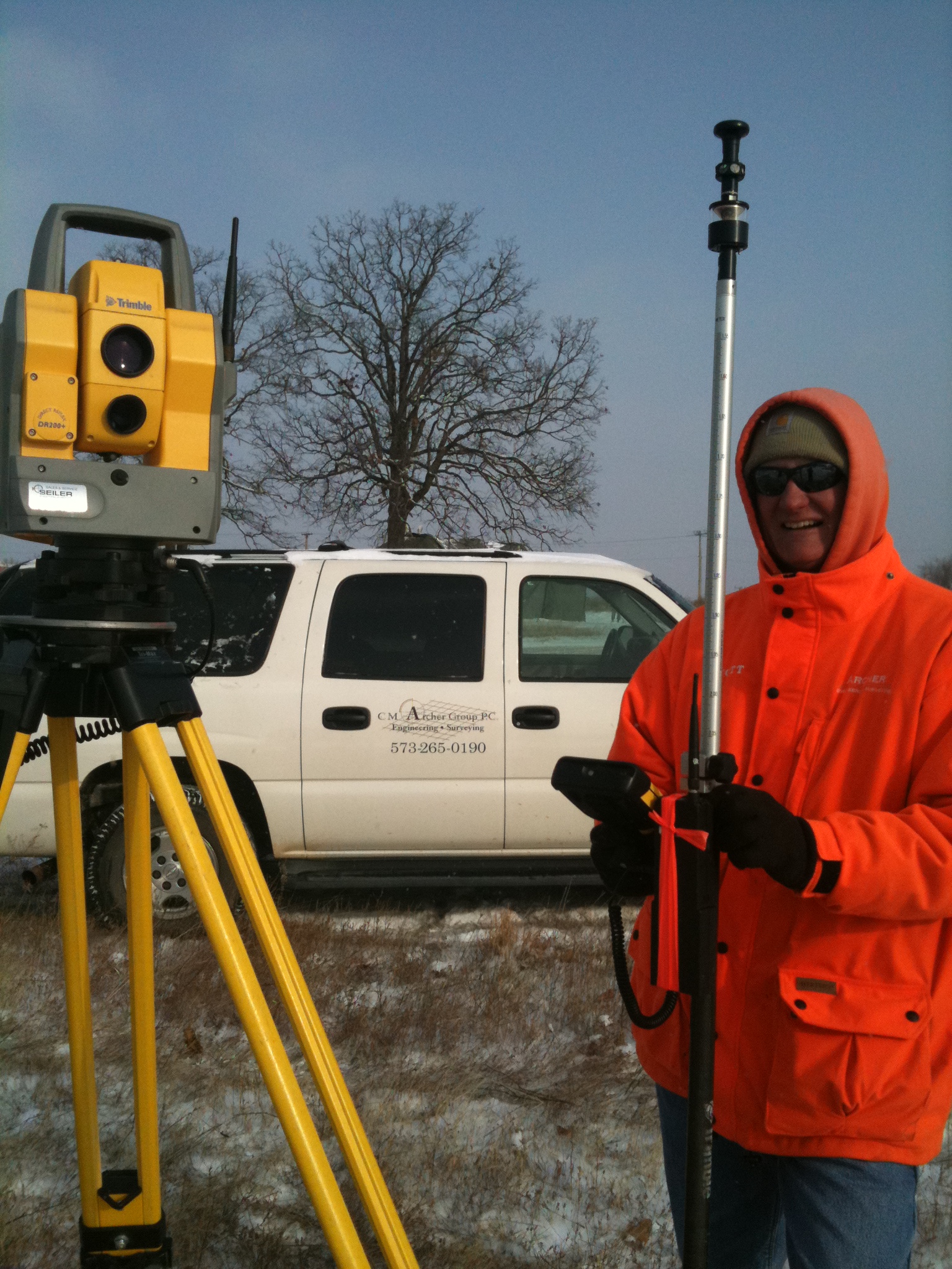
 Boundary and Easement Survey Services
- • Aerial Imagery Control: Control surveys for traditional photogrammetry and for aerial imagery or scanning.
- • ALTA/ACSM Land Title Surveys: Sometimes required to satisfy lender or title company requirements on commercial or some residential transactions. “High-spec” surveys require experience and tenacity that Archer-Elgin specializes in providing.
- • Airport Surveys: Aviation easements, navigation aid alignment, ALP “Exhibit A’s”, land acquisition surveys, obstruction surveys, existing condition surveys.
- • Bridge Surveys: The standard MoDOT-specification bridge survey, stream profiles, valley sections, pavement profile, critical elevations of structural elements, utilities locations, right-of-way boundaries.
- • Rights-of-Way Surveys: Ownership mapping, route alignment, project control, surveys of existing and proposed right-of-way boundaries, platting and description of parcels for acquisition.
- • Site Surveys: Surveys for the design of facilities or development, topography, utilities, easements, boundaries, etc.
- • Surveys for Preparation of As-Built Drawings: Post-construction surveys for record drawings and mapping to provide AutoCAD deliverables for inclusion in owner’s GIS.
- • Topographic Surveys: Surveys to record information regarding the surface conditions of a proposed construction site. The resulting drawing normally uses contour lines to convey the surface height or depth relative to a given level.
- • Traditional Boundary Surveys of Town Lots, Farms, Parcels: Surveys of lots, farms, parcels for real estate closings, boundary determination, estate planning and conveyance.
- • Utility Surveys: Usually discovery and mapping of buried and overhead utilities in preparation for project design.