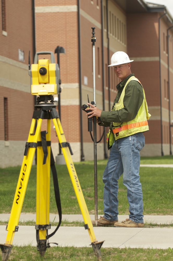
Archer-Elgin’s multi-disciplined professional engineers, licensed land surveyors, land surveying crew, architects and design and support staff have access to the most up-to-date, leading edge technology and tools, both in the office and in the field, including the latest in Global Positioning Satellite (GPS) and Robotic Total Station (RTK) systems. Taking full advantage of this and other technology (including the most modern equipment, computers, software, and printers), our staff strives to produce the highest quality work products possible.